Arizona Paths is the most complete all about Arizona site, with tourist and tourism information, statistics, weather and climate, maps, business directory listings, and history and culture.
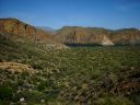
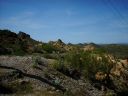
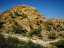
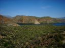
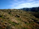
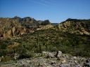
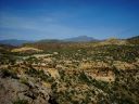
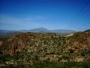
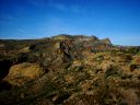
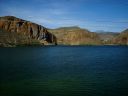
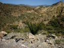
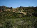
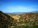
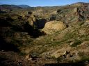
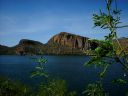
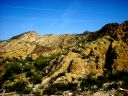
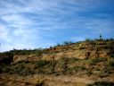
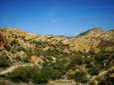
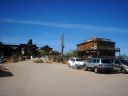
Along this route, SR88, lies many historical treasures, including The Superstition MountainsSuperstition Mountains(soo-pe'r-STI'-shu'n MAWN-ti'n)A large mountain range making up the eastern edge of the Phoenix valley., Goldfield, and Tortilla FlatTortilla Flat(to'r-TE-ya'h fla't)A small, flat area along the Apache Trail. This town was originally used as a stop between Phoenix and Roosevelt Dam during construction.. This road takes you from the edge of Mesa to Roosevelt LakeRoosevelt Lake(ROS-e'-ve'lt lak)Roosevelt Lake spans 17,000 surface acres, with 89 miles of shoreline; this is the biggest lake in Central Arizona.. Click on a photo to see it full-sized.
A large mountain range making up the eastern edge of the Phoenix valley.
A small, flat area along the Apache Trail. This town was originally used as a stop between Phoenix and Roosevelt Dam during construction.
Roosevelt Lake spans 17,000 surface acres, with 89 miles of shoreline; this is the biggest lake in Central Arizona.
Note: All photos are copyright Arizona Paths. No photos may be used without prior written permission from Arizona Paths.